Southern Mountain Loop – Highway 12 Planning and Environmental Linkages (PEL) Study
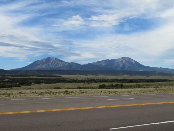
The South Central Council of Governments (SCCOG) and the Colorado Department of Transportation (CDOT) are conducting a Planning and Environmental Linkages (PEL) Study of the Southern Mountain Loop (SML) of the Colorado Front Range Trail (CFRT). As defined by the CFRT master planning studies, the SML corridor extends from Walsenburg to Trinidad, Colorado along United States Highway 160 (US 160) and Colorado State Highway 12 (CO 12) – a distance of roughly 82 miles. The Corridor is centered along US 160 and SH 12 and includes the immediate adjacent areas. This Corridor is designated as the Scenic Highway of Legends (SHOL) Byway.
Purpose
This project is intended to enhance the two-county region’s tourism-related economy through a long-term investment plan for highway safety, bicycle/recreational trail, cultural/heritage, and nature-based tourism infrastructure improvements along the SHOL, which completes the SML segment of the CFRT and balances the protection and promotion of the Spanish Peaks Country according to local community values and goals. It will examine the following needs for improvements to the Corridor, as well as produce conceptual design, funding, scheduling, and phasing recommendations:
- Improve safety for vehicles, bicyclists, and pedestrians along the corridor
- Rehabilitate the corridor’s roadway pavement and bridges
- Provide a regional and local bicycle/recreational trail system along the corridor
- Improve connections and access to communities and recreational areas along the corridor for all types of visitors and users
Objective
The objective of this project is to work with community stakeholders to analyze and develop a range of improvements, creating a blueprint for developing highway safety improvements, a primary trail route from which to access other existing hiking and bicycle trails along the Corridor, and byway-related tourism improvements. The study will take a closer look at issues that need to be addressed in the course of creating a biking and hiking path along the Corridor. The study will:
- Provide an improved understanding of the Corridor.
- Evaluate the existing and future operating conditions and features of the trail.
- Identify existing conditions and anticipated problem areas.
- Identify and define strategic segments for prioritization.
- Develop a range of multi-modal improvements to improve safety of the Corridor.
- Assess, at the appropriate level of detail, highway safety concerns in coordination with new bike/trail opportunities and access to cultural and recreational activities.
- Upon completion, or possibly during the study as funding allows, enable moving forward seamlessly with elements or projects within the recommended plan. The results of the study may be used to prepare National Environmental Policy Act (NEPA) studies as part of the next steps.
The CDOT Web Page for the SML PEL Study
https://www.codot.gov/library/studies/co-12-sml-pel
Contact Us
Email: SouthernMountainLoop@gmail.com
719-427-1078
CDOT Media Contact
Michelle Peulen
CDOT Region 2 Communications Manager
719-562-5514
michelle.peulen@state.co.us
SCCOG Contact
Executive Director
South Central Council of Governments
719-845-1133
Quick Links:
PEL PROCESS PAGE
EXISTING CORRIDOR CONDITIONS REPORT